Hydrographic Surveys & Marine Services


We love the water, especially what’s beneath the surface. Let’s explore together! Contact us today for all your hydrographic, bathymetric, and marine project needs:

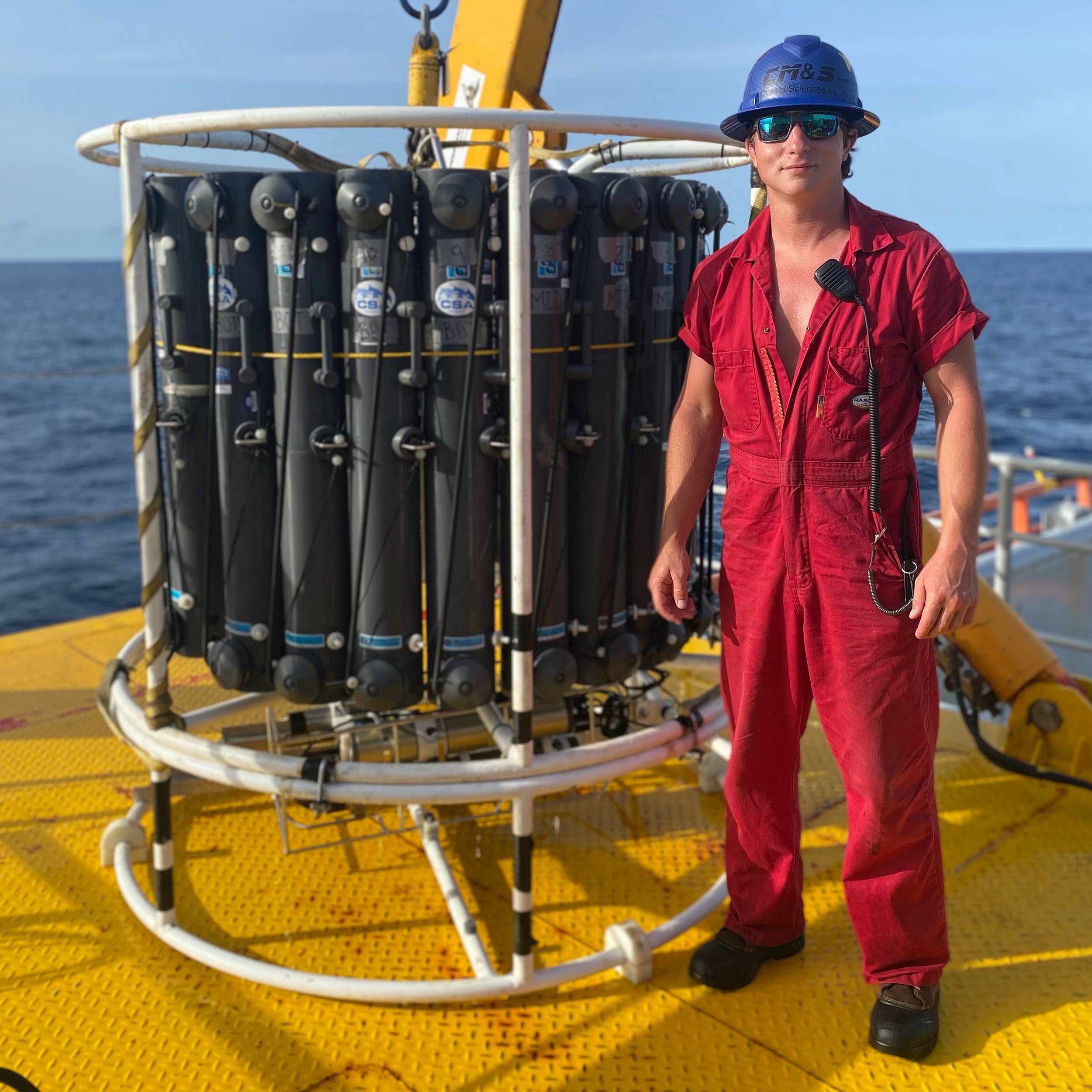
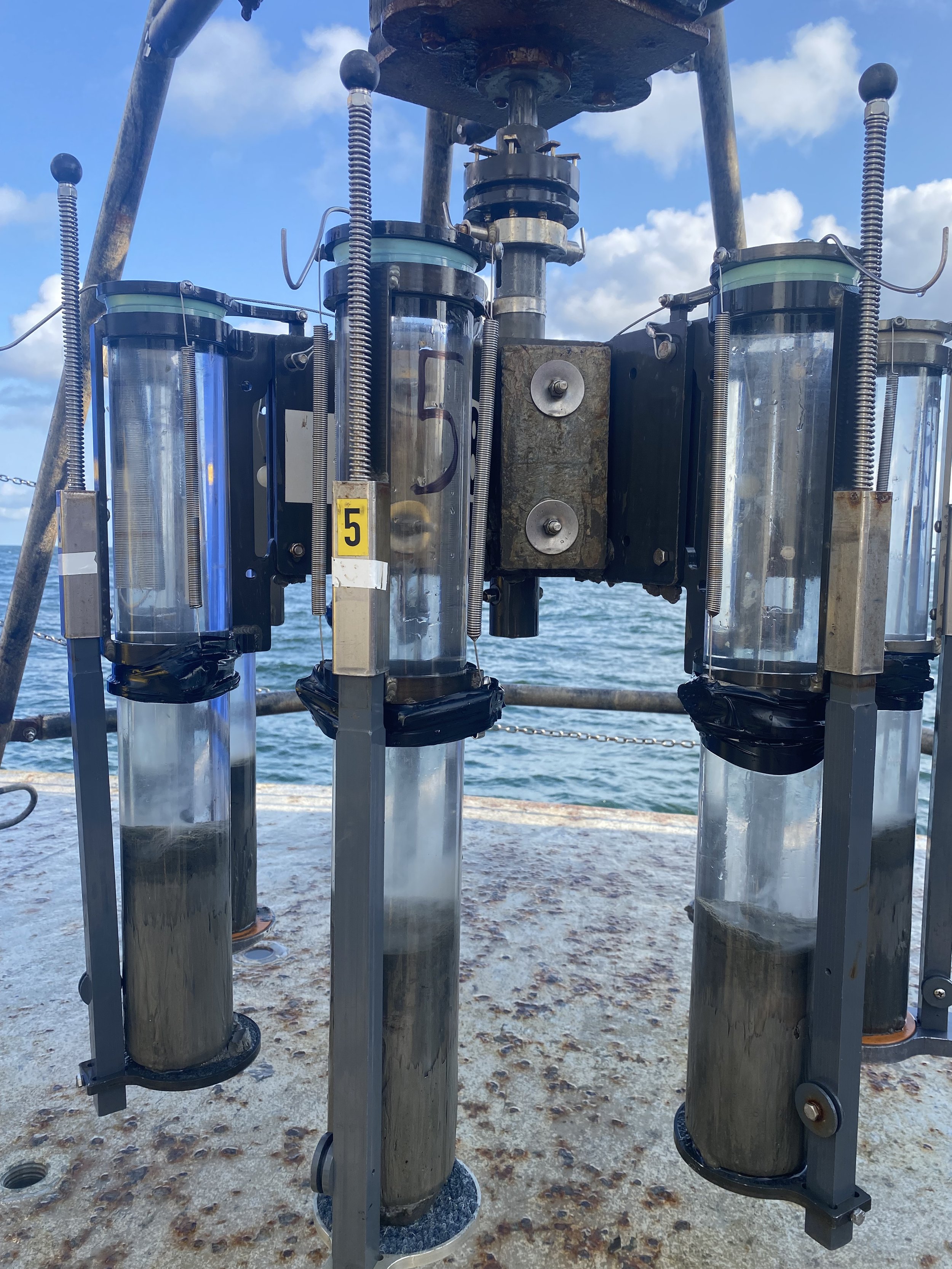
  • Marine Technician Services

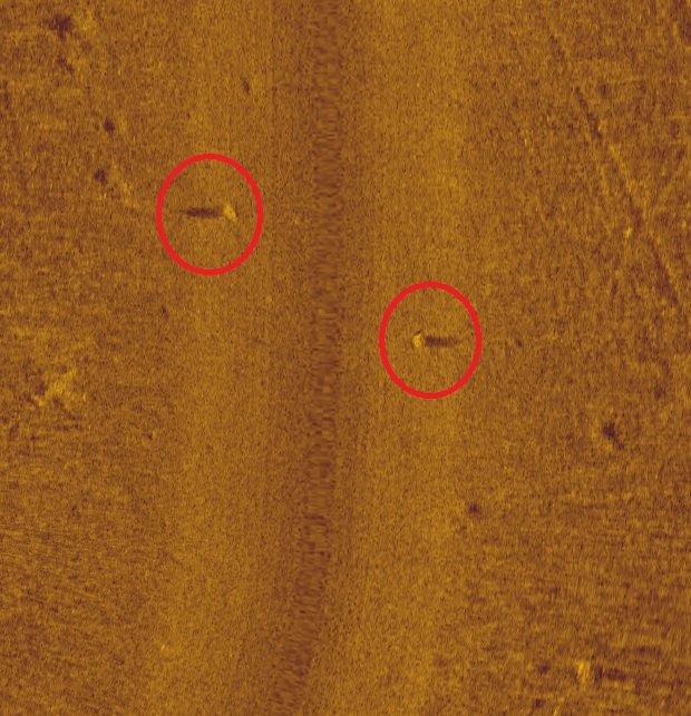
  • Side-Scan Sonar Surveys

  • Marine Debris Location and Removal

  • Multibeam/Single Beam Bathymetry Surveys

  • Bottom Composition/Aquatic Habitat Surveys

  • Seagrass/Submerged Aquatic Vegetation (SAV) Surveys

  • ADCP’s and Current Profilers

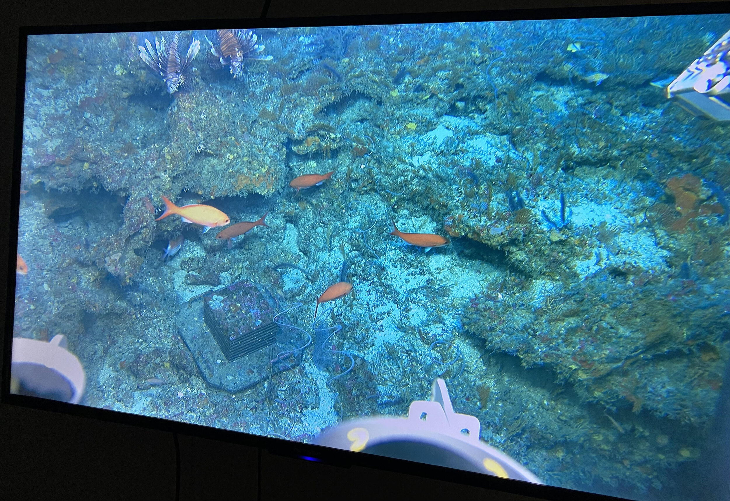
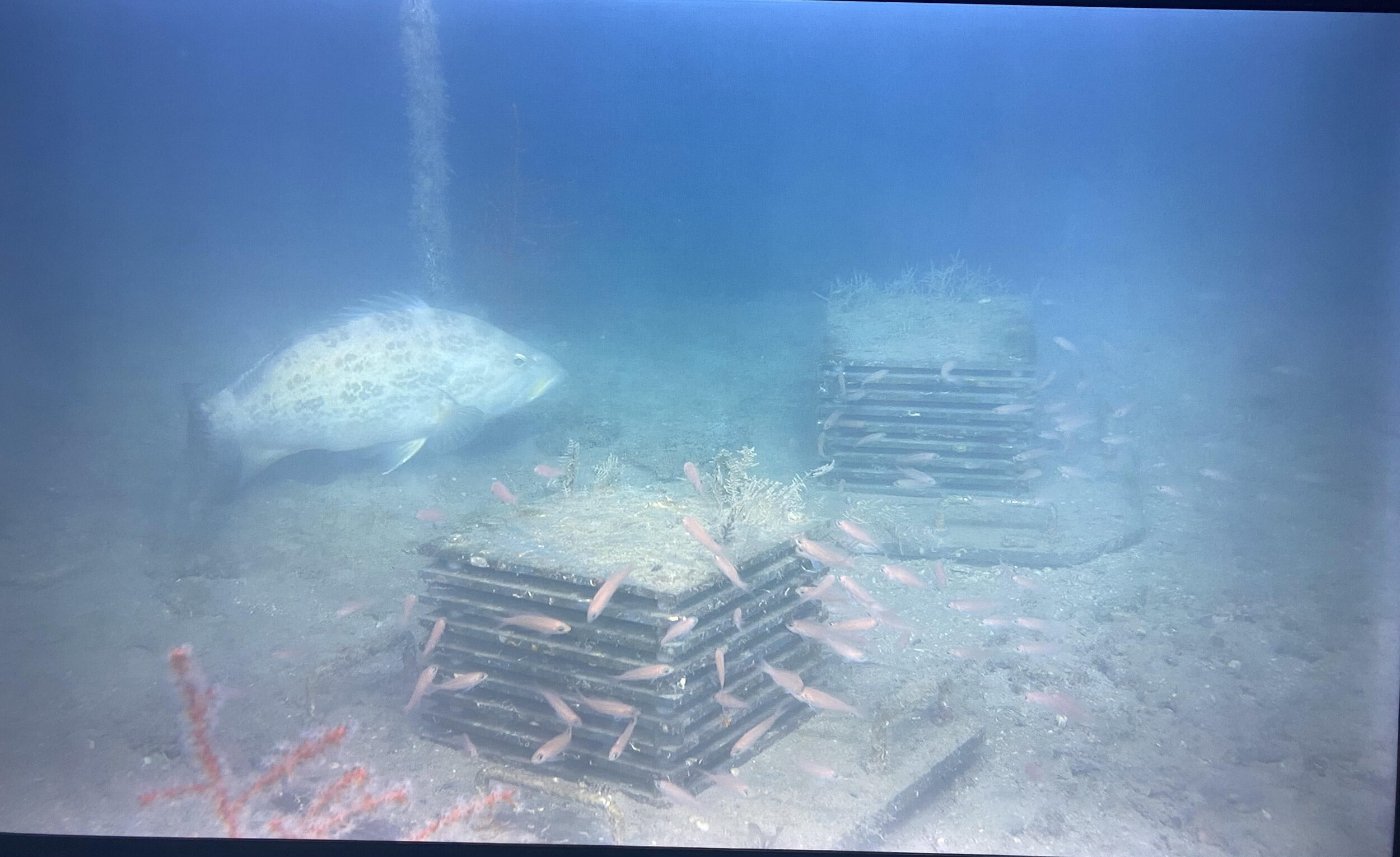
  • Fisheries/Reef Surveys

  • Aquaculture Monitoring

  • Oyster Reef Surveys

  • Benthic Visualization

  • Hull Inspections, or any other underwater projects.


Marine Tech Services

Have hydrographic or oceanographic equipment that you need help setting up or operating? CMS can help whether it’s a single day set up or weeks long trip! We have a wide range of experience with different echo sounders, ADCP’s, acoustic systems, sub bottom profilers, CHIRP systems, flow through setups, thermosalinographs, CTD’s, and more.


Side-Scan Sonar

Need an affordable yet dependable side-scan sonar survey? The CMS crew can deliver using our transducer or towed system. The transducer systems are capable of 455 and 800 kHz making in suitable for many bottom types. The towed system uses a 450kHz CHIRP transmission, to provide a wide range coverage up to 100m/ 300ft per channel (200m/ 600ft total swathe) with good, clear image definition. Collected data can be handed over as post processed files or a presentation quality map using our GIS services.


Marine Debris Removal

To date, CMS has been involved with the removal of over 19,300 derelict crab traps from Louisiana waters through contract work, collaborations, and partnerships with environmental non-profits, state agencies, and federal funders. The CMS crew is specialized in using side-scan sonar to locate derelict crab traps that have separated from their floats and removing them with dedicated hook and grapple methods. Various types of marine debris including derelict fishing gear, vessel parts, and building materials have been located and recovered during removal projects.


Bathymetry Surveys

Multibeam and single beam sonar surveys are a quick, efficient, and accurate way to easily measure and record depths of any water body. With access to several multibeam and single beam systems, years of experience, and our wide range of boats at the ready, no body of water is out of the question. Collected data can be handed over as post processed files or a presentation quality map using our GIS services. Bathymetric surveys can be combined with topographic surveys for a complete land to water interface project.


Underwater Imaging/ROVs

Want to easily see what’s below the surface? Our underwater camera systems and ROV’s are the perfect option. Small, transportable, and extremely capable, these ROV’s can handle any task. Equipped with depth rated LED lights they can see even in dark, murky waters. The 1080p and 4K cameras show a live feed and all video is recorded for later video processing. Our ROVs can be paired with virtual reality headsets for quick and easy real time fish counts and visualization.