GIS & Mapping


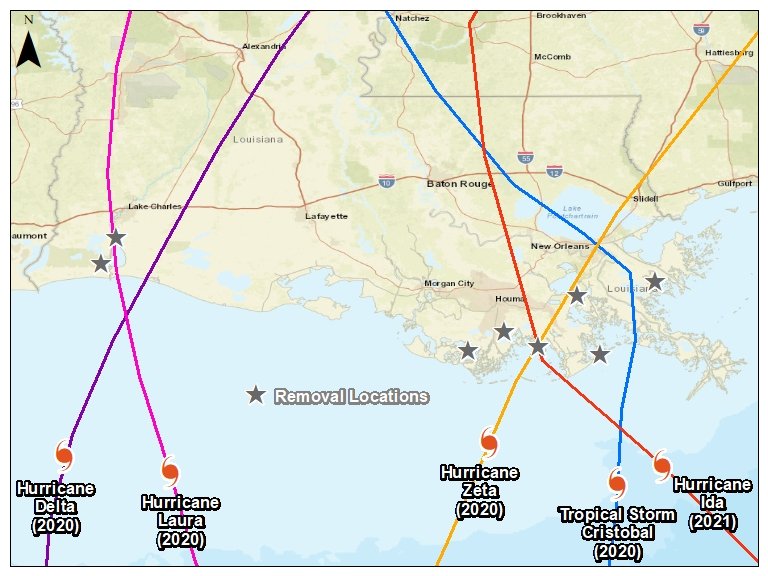
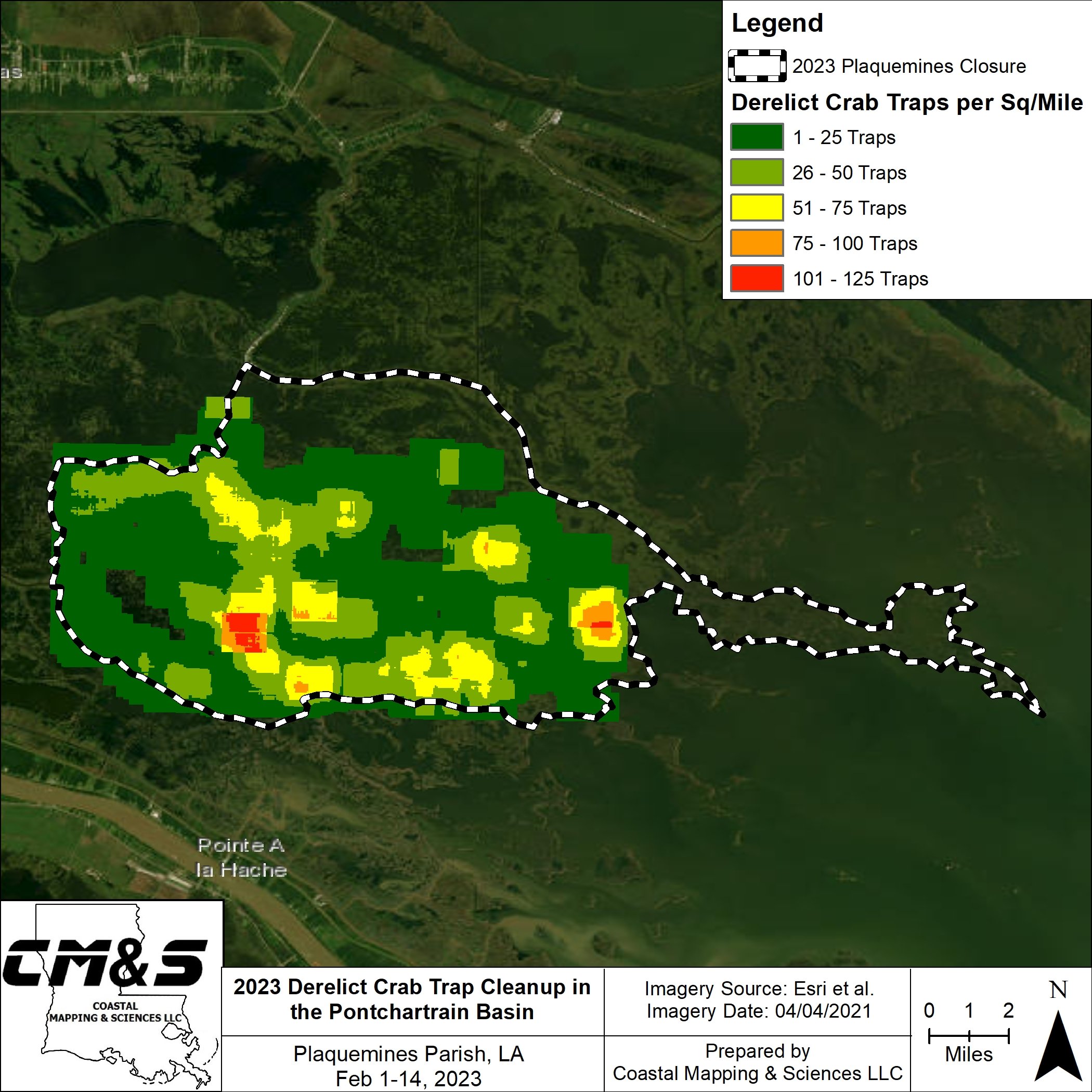
Mapping, its in our name so you know it’s something we take pride in! Custom maps, GIS analysis, and imagery stitching is our specialty. Contact us today to get your data transformed into a work of art.

  • GIS Analysis

  • Custom Map Building

  • Data Creation and Editing

  • Rasters and Interpolations

  • Volumetric and Surface Area Calculations

  • Data analysis

  • Image Stitching and Mosaicking

  • Georeferencing


GIS Analysis

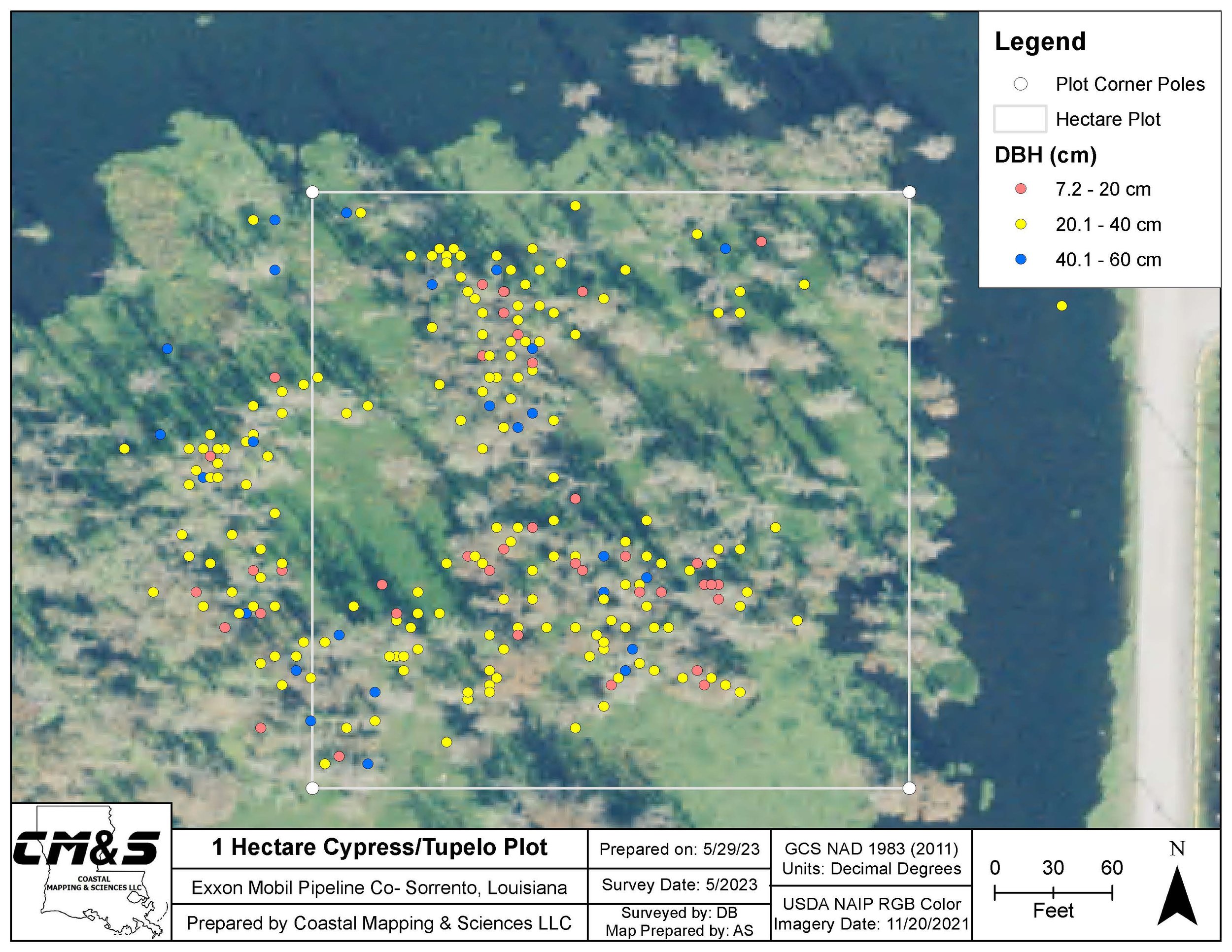
You can’t beat the smell of raw data, let us crunch the numbers and dig into the analysis. Our extensive knowledge of ArcGIS and it’s toolbox means we can compile, edit, and work with the most complex of data sets. We make attribute tables and number crunches easy!


Custom Map Building

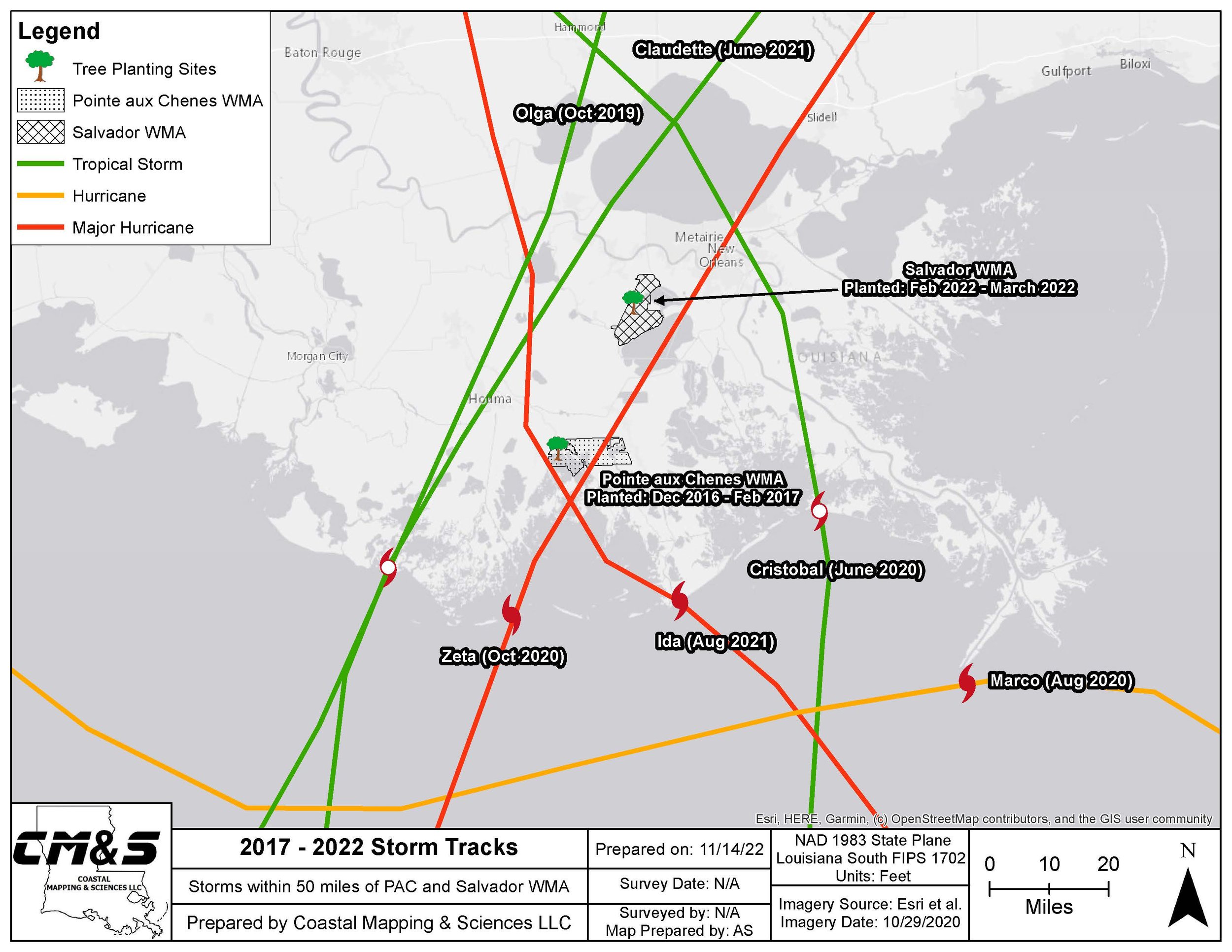
Maps can be basic and boring, CMS turns them into works of art. We take pride in detail and quality. Let us make presentation quality maps to your standards from provided, compiled, or created data. The most up to date imagery available is always used for the most accurate representation possible.


Rasters & Interpolations

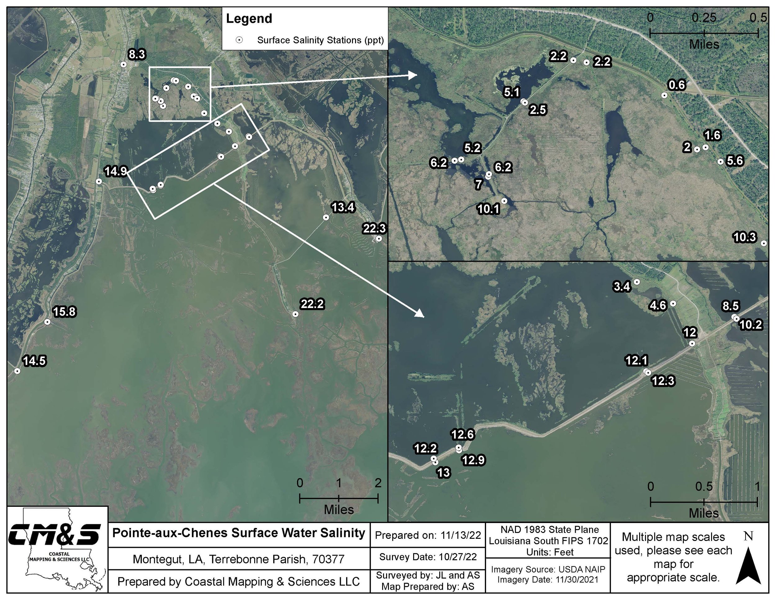
Raw data can tell the story of a project, rasters and interpolations brings it to life! Rasters and interpolations are easy visualization tools that give any data set a 3-D look and feel.


Volumetric and Area Calculations

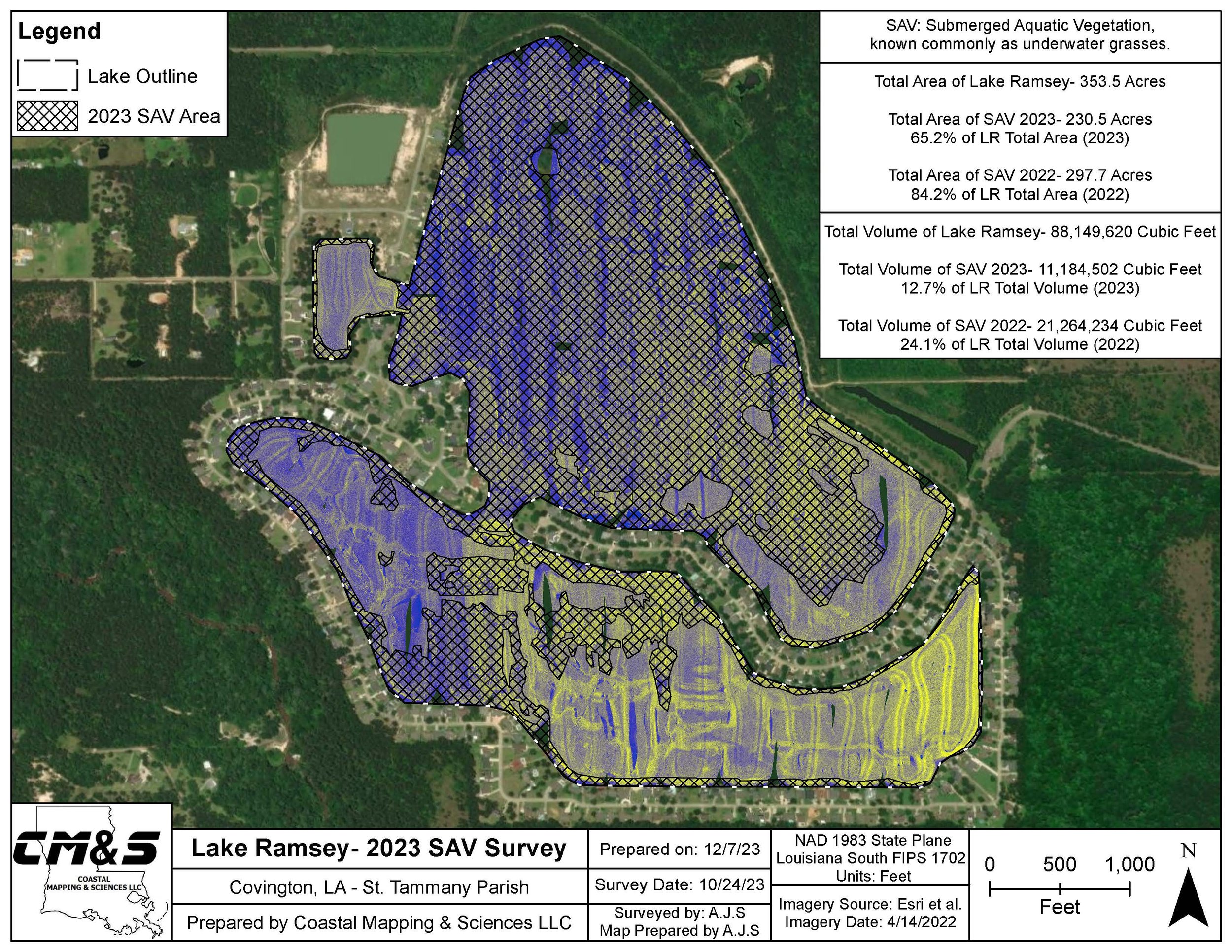
Utilizing GIS techniques volumes and area values can be easily calculated for any coverage data set. Exported side scan sonar data can be used to easily calculate volumes, area, and density for any underwater landscape.


Imagery Stitching & Georeferencing

Need aerial flown imagery or historical images stitched together to make a continuous dataset? We can do that! Images are triangulated together for a seamless conversion and are georeferenced in the process for a complete dataset ready to bring into any GIS or imaging software.