Coastal Sciences


Coastal Mapping & Sciences can conduct any field work, data collection, research, or monitoring project imaginable across the Louisiana coast. With a unique blend of formal training, hands on experience, and muddy boots the CMS crew is the go-to team for accomplishing coastal science research and projects quickly, safely, and accurately. All of our boat captains are USCG licensed and experienced navigators of the dynamic Louisiana waterways. Our equipment is accurately calibrated and well maintained.

Contact us today and let’s go for a boat ride!

  • Water Quality Monitoring

  • Environmental Monitoring

  • Topographic/ Elevation/ Hydrologic Surveys

  • Biological Sampling

  • Sediment/ Benthic Sampling

  • Vegetation Surveys/ Tree Monitoring

  • Porewater Sampling

  • GPS Services

  • Plus much more…


Water Quality Monitoring

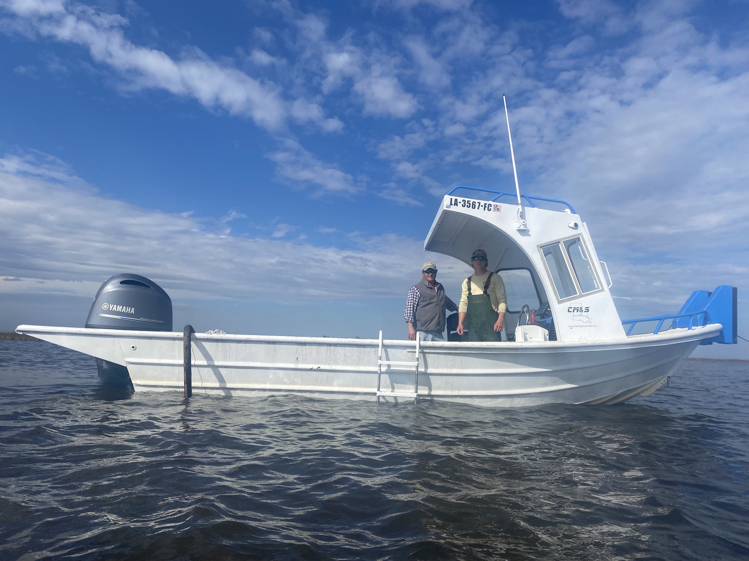
From measuring dissolved oxygen monitoring hypoxia layers to collecting water quality data deep in the Gulf of Mexico, CMS has the knowledge and skill to tackle any water quality monitoring project. Using reliable equipment to accurately capture parameters such as: Temperature, Salinity, Conductivity, Dissolved Oxygen, pH, ORP, Chlorophyll, and Turbidity. Our wide range of boats allows us to access from the deepest swamps to the open gulf making us capable of completing any project, including fixed long term monitoring stations, transect sampling, or single point water column data. CMS is experienced with EPA standards for collection, processing, and transport of water samples for further lab analysis.


Topographic/ Elevation/ Hydrologic Surveys

The little elevation coastal Louisiana has is precious and valuable, that’s why CMS takes pride in offering the most precise and accurate topographic surveys possible. Our experienced team can conquer any survey needed with our state-of-the-art survey equipment, for project sites either close to town or on the edge of the gulf. No location is off limits. Beach elevation profiles, shoreline change surveys, marsh elevation plots, and land change analysis surveys are all possible. We can provide you with post processed CSVs and shapefiles or create a one-of-a-kind map with our GIS work.


Biological Sampling

We love catching fish, and any other marine or aquatic species you may be studying. Otter trawls, oyster dredges, hook and line, seine nets, bycatch studies, electro fishing, and trap/ cage methods are all possible with the CMS team. Accurate data collection is priority, getting slimy is expected.


Sediment & Benthic Grab Samples

Need some mud? Let the CMS team do the dirty work for you! Our experience with bottom samplers like the Ekman Dredge, Van Veen Grab Sampler, Box Core, and Ponar Grab Sampler means we can complete any bottom sampling project out there. CMS is experienced with EPA standards for collection, processing, and transport of sediment samples for further lab analysis.


Other Field Work

Bring your own equipment aboard any of our boats for any field work you are looking to complete. Our captains and crew can safely navigate to the desired destination and lend a helping hand collecting data or operating equipment.